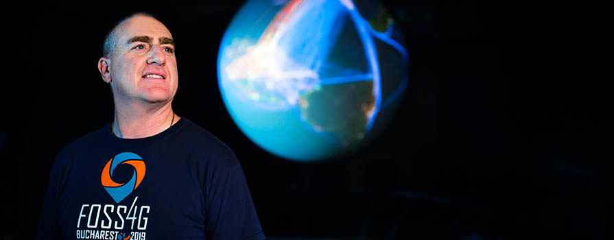
From COGS to NASA

When a business gets a call from NASA, it’s a big deal. When that business is being asked to teach some of NASA’s brightest minds, it’s galactic.
That’s exactly what happened to Jeff McKenna, a 2003 graduate of NSCC’s Centre of Geographic Sciences (COGS). In the fall of 2012, NASA reached out to Gateway Geomatics, the company Jeff owns, to see if he could create a custom open source geospatial solution (or ‘mapping’ to the layperson) for NASA employees. Jeff didn’t hesitate.
That was just the beginning.
Today, Jeff is an award-winning world-recognized expert and passionate advocate for Free and Open Source Software for Geospatial (FOSS4G) and MapServer for Windows (MS4W). It certainly helps that he’s one of the three founders of the technology.
When I graduated from Carleton, I asked ‘what do I need to be the best’ and my prof said: 'No question about it, you go to COGS in Lawrencetown, Nova Scotia’.
Understanding open source
“Unprecedented amounts of data are being shared every day,” says Jeff. “Pay scales, oceans data, soil tests, rainfall amounts, car purchases, land parcel management information. Advocates of FOSS4G believe that the software, the data and everything that has to do with maps should be shared.”
Jeff explains, “Think about a word processing program. If you want one, you have to buy licences for every user, and you receive the same program that’s available to everyone. Imagine if instead of buying licences, you could buy a customized version of the program that offered the exact features you wanted.”
MS4W is akin to word processor in the analogy. The free software was invented to collect and navigate the mass amounts of geospatial data being shared due to the worldwide FOSS4G movement.
As it’s his invention, Jeff can circumvent the licensing fees and create customized versions of MS4W—as he has done for NASA, Agriculture and Agri-Foods Canada, COINAtlantic and countless others. With these customized versions, his clients can easily tease out the relevant information they need for their work and further share data in ways that work for them.
Without open source, users would have to pay thousands and thousands of dollars to do so—something not possible for many of Jeff’s clients.
The way of the future
“Open source, it’s been a tough sell,” says Jeff. “Back in 2000, when it when it first started, people tended to think that if you’re not paying a lot of money for it, it wouldn’t be as good and there wouldn’t be a lot of features. Today, people get it.”
As a result, Jeff says that he’s working non-stop with governments, communities and companies around the world to build software, training programs and custom applications to share and use geospatial data. He’s also travelling to countries such as Japan, China, Australia, South Africa, Tanzania, Thailand, Russia — and recently Brazil — to speak, as the undisputed world-wide expert, on the topic.
Today, MS4W is the largest software export from Nova Scotia, receiving approximately 6,000 downloads each month. In addition, more than 3,000 worldwide users contribute data to the software on a regular basis.
Fast Fact
Jeff is currently working on a bid to bring Nova Scotia’s largest conference ever to Halifax: The 2020 Free and Open Source for Geospatial Conference.

