Celebrating 20 years of discovery
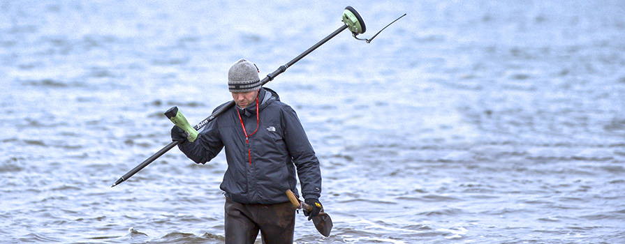
An offshore wind makes it feel colder than five degrees. Small groups of researchers and COGS students are bundled up in toques and waterproof gear, prepping drones, data collecting systems, a small boat and an ATV equipped with complex technology.
Applied Geomatics Research Group (AGRG) Scientist Dr. Tim Webster, is in his element as he checks various monitors while cracking jokes. He's making sure everyone has what they need to start collecting data that will be used to map the coast.
“Twenty years ago, me and several other faculty members invented our own research focus in the coastal zone,” says Tim. “I believe our work has been incredibly important in supporting sustainable development in the coastal zone and aquaculture sites in Nova Scotia.”
It all started with NSCC applying for its first CFI grant in 1999. Tim used a 3D map of the province that demonstrated COGS data processing capabilities to get government support for the proposal. It was a team effort. Tim served as the technical lead, while faculty members David Colville, David Raymond and then principal David Woolnough were tasked with writing the submission.
“When we got our first grant, I recall a colleague saying they were sure glad I had taken on the role because the idea of such a big project scared them. I have always been confident in my ability and never scared to try something for fear of making mistakes. I think to be a good researcher you have to be willing to take risks and not be afraid of failure.”
That first grant got the ball rolling. Soon after, NSCC established a team of research scientists and AGRG was born in January 2000.
Today, AGRG uses sophisticated mapping techniques to model the coastal zone. Their work helps communities, government and industry partners prepare for coastal flooding, erosion and the impacts of climate change on aquaculture sites. Among many accomplishments over the years, AGRG is proudest of the $2 million CFI grant they were awarded in 2014.
“This grant enabled us to purchase a Leica Chiroptera topo-bathymetric lidar along with a boat and mobile lidar scanner. These resources put NSCC at the forefront of topo-bathymetric lidar research. With this technology, we can collect data from above the water in a plane and below the surface to measure the precise elevation of land across the land-sea boundary. We are still the only Canadian academic institution to own one of these lidar systems.”
NSCC President, Don Bureaux, sees Applied Research as an important pillar for the College, one that helps support its mission, “Innovation is at the heart of everything we do. Based on the success of AGRG, the College has built an Applied Research department that continues to grow and help different sectors across the province. I’d like to congratulate AGRG on two decades of important research work and thank them for establishing a world-leading reputation around bathymetric lidar.”
Located in the Annapolis Valley Campus, AGRG is made up of skilled, highly motivated individuals that, in addition to their work, take on a mentor role. They introduce COGS students to their research and provide them with access to the latest, most innovative technology. “Every year we identify a leader and hire them to work with us as a research assistant,” says Tim. “In some cases, they’re still on our team today.”
AGRG’s work has led it to a supporting role in a new globally-watched project that is coming to Nova Scotia’s shores. The team is assisting the Whale Sanctuary Project by characterizing the oceanography and seabed habitat of the proposed sanctuary area in Port Hilford. The project involves the establishment of North America’s first pen for Beluga whales rescued from captivity at MarineLand Park. AGRG is measuring current speeds and water levels within the bay. The bathymetric data they collect along with the seabed habitat maps enables them to construct a hydrodynamic model of the bay. This information helps the planning and placement of the whale sanctuary.
Tim’s one of the lucky few who turned a passion into a lifelong career. There’s nothing he loves more than working with his team in the field:
“As a research scientist, I’m constantly working to improve data processing techniques, brainstorm on proposals and maintain good relationships with industry partners. My favourite part of the job is when I can get my hands dirty and be involved in the analysis. There’s no place I’d rather be than with my team in the field – collecting data from an airplane, boat or drone. It’s a thrill every time we go back to the office and process the data to produce a high-resolution map that no one has ever seen before.”