Geomatics
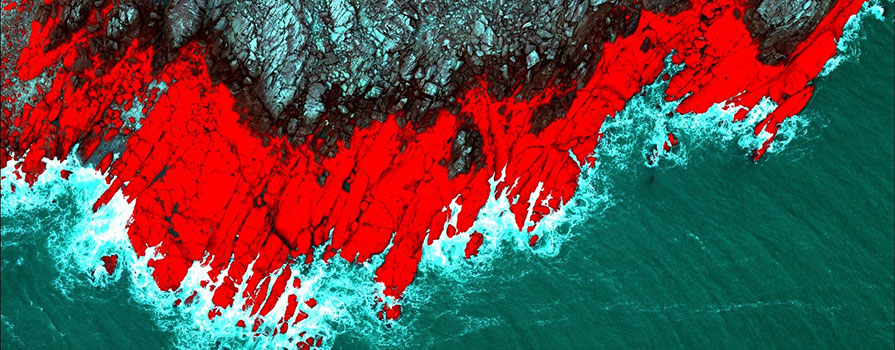
Applied Geomatics Research Group (AGRG), located at the Annapolis Valley Campus, has over 20 years of coastal mapping research experience. Using high-resolution remote sensing, such as topo-bathymetric lidar, combined with geographic information system (GIS) techniques, AGRG maps, monitors and models coastal zones with an emphasis on flood risk, erosion and habitat mapping.
Led by Dr. Tim Webster, AGRG applies advanced mapping techniques to solve problems and support sustainable development in the coastal zone and aquaculture sites, including flood risk associated with storm surges and sea level rise and modelling contaminants in the coastal zone.
AGRG also conducts watershed and hydrological studies of inland river systems. Watershed and river hydrology benefit from their high-resolution elevation mapping capabilities, both on land and below the water.
Projects
Interactive web maps
Coastal flood risk map - Using lidar elevation surveys, AGRG integrates storm surge predictions and tide levels to accurately predict total water levels. Use this map to assess coastal flood risk.
Aquaculture site selection tool - Layering data from advanced mapping technologies, this map informs decision-making for optimal aquaculture site selection.
Topographic-bathymetric lidar sensor
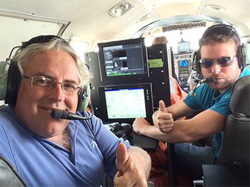
NSCC is the only Canadian academic institution with a bathymetric lidar system. This technology offers a unique method to take a detailed survey of the nearshore coastal zone up to 15 metres in depth in clear water. The sensor is mounted in an aircraft and uses lasers to measure the precise elevation of the earth’s terrain across the land-sea boundary. Its high level accuracy and rich data products makes it ideal for environmental monitoring and charting nearshore hazards for navigation.