COGS programs
NSCC's Centre of Geographic Sciences (COGS) is Canada's leading geomatics-focused training environment. We offer programs ranging in length from 1 to 2 years.
Certificates
If you have a high school diploma and are interested in starting a career in geographic information systems or surveying, check out our entry-level programs.
- Geographic Information Systems Technician
Get equipped with the skills required to be a work-ready GIS Technician. - Survey Technician
Develop surveying skills using lasers and satellites to measure, position and map physical features of the world around us.
Diplomas
If you have a college diploma, certificate or university degree, and are interested in a map-making, planning or geomatics technology career, explore our diploma programs.
- Geomatics Engineering Technology
Use lasers, robots and drones to capture data and further develop your knowledge, skills and experience in surveying and mapping. - Geographic Information Systems (GIS) - Cartography and Geovisualization
Combine your interests in art, design, science and technology. - IT Programming
Develop your coding skills to build software solutions for a variety of platforms.
Graduate Certificates
If you have a college diploma or university degree in a geomatics related field (geography, geology, archaeology, forestry, resource management or another related topic), our graduate certificate programs take your training to the next level.
- Geographic Information Systems - Geospatial Data Analytics
Learn how to uncover hidden patterns in geospatial data and communicate your results with stunning data visualizations. - Geographic Information Systems
Develop your skills to open opportunities for a career in the geospatial sector in this post-graduate program. - Geographic Information Systems - Remote Sensing
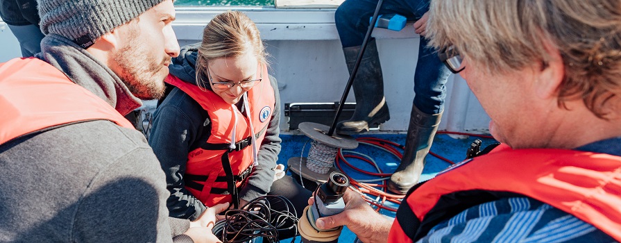
Learn to see Earth in a new way using Earth Observation data collection and analysis skills. - Marine Geomatics
Explore and map the Earth’s oceans while pursuing a successful, well-paying career.
We offer regular info sessions about our program offerings. Attend an info session