Map the future through geomatics
Advances in geospatial technology mean geomatics professionals will have key roles to play well into the future.
They’ll be helping to develop:
- Smart cities
More than 50% of the world’s population already lives in cities, and urban living is on the rise. With this rapid urbanization comes the need for more efficient management of city centres. Infrastructure development, energy consumption, noise pollution, environmental planning and other strategies will be led by geomatics professionals. These efforts will result in better mapping, fewer concrete jungles, more green spaces and increased liveability. - Smart food resourcing
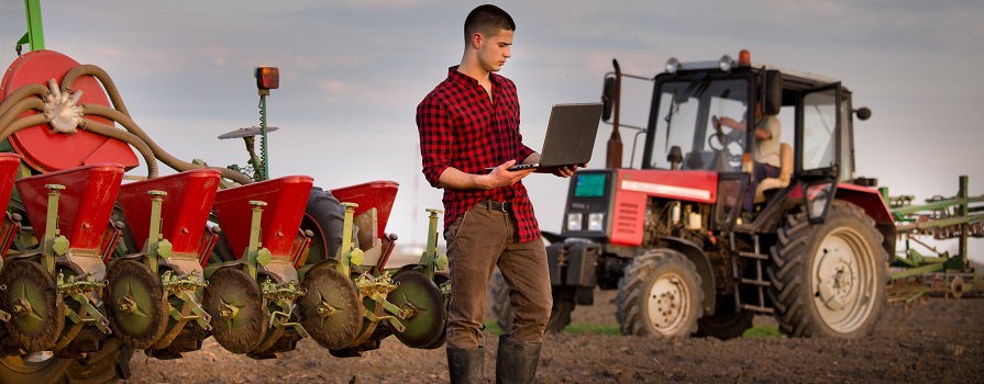
Geospatial data and technology helps farmers increase their yields through more efficient seeding, fertilization and harvesting. This precision agriculture, known as smart farming, is expected to boost food production around the world. - Smart transportation
Self-driving cars can navigate on their own, which means geomatics is already involved in the manufacturing of smart vehicles. But there’s a lot more to be done to ensure self-driving mini vans are safe for the family. To guarantee a vehicle stays in the proper lane, and at a safe distance from other cars, enhanced geospatial data will be used to plan safe journeys for passengers.
Study at COGS and learn how to combine data, science and technology with the physical world around us. Explore our programs.